We like a good hike, and every once in a while we have the chance to hike slow, take pictures, and share the adventure with you. You can check out some of our previous Colorado hikes here.
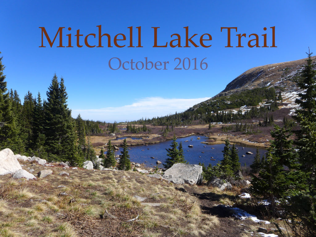
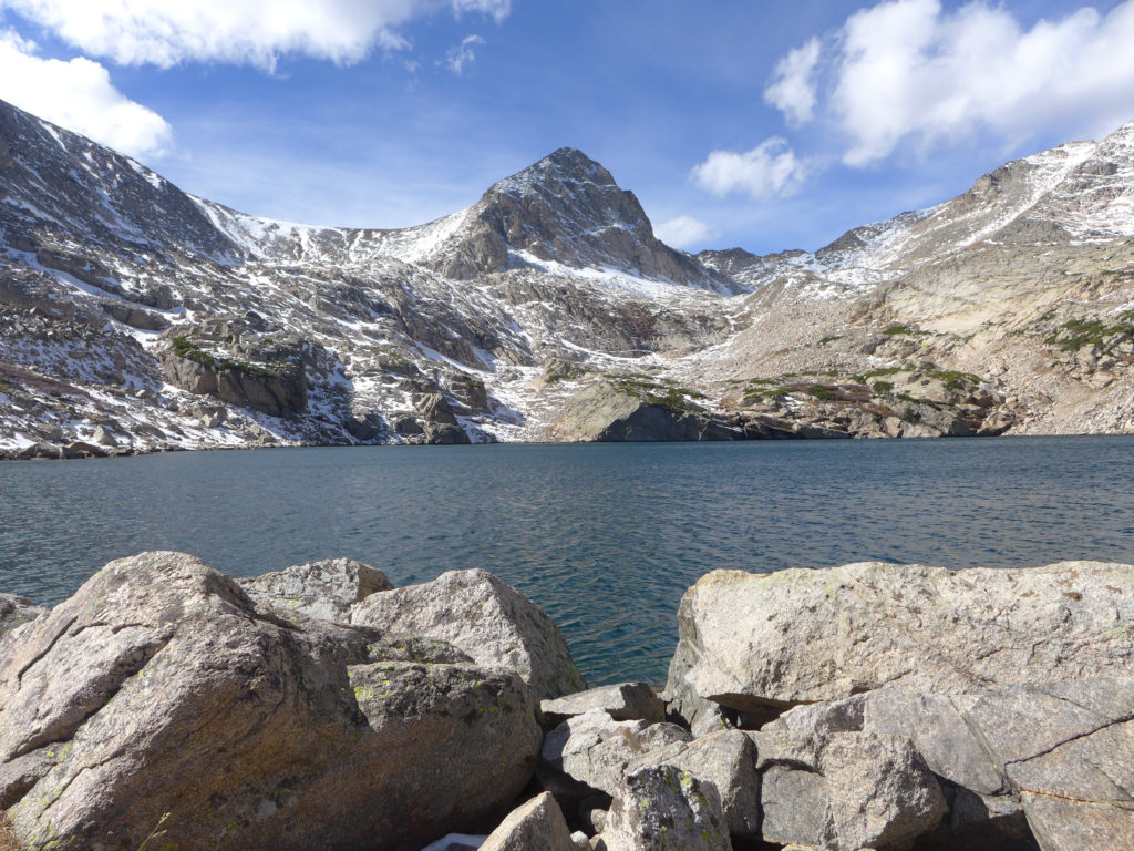
For the past two weekends, we’ve visited Brainard Lake Recreation Area and set out from the Mitchell Lake Trailhead. On our first trip, we did a short hike to Mitchell Lake, took a rest to have some hot chocolate, and then turned around. Yesterday we set out with the goal to make it all the way to Blue Lake, and we did!
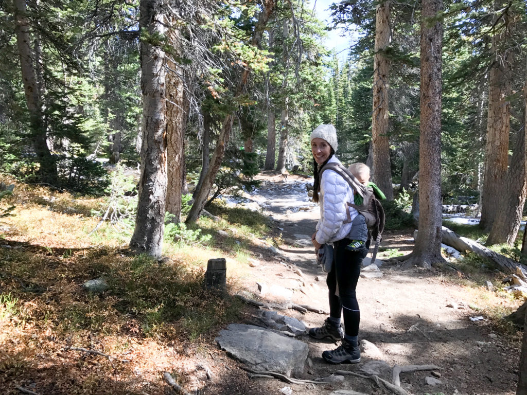
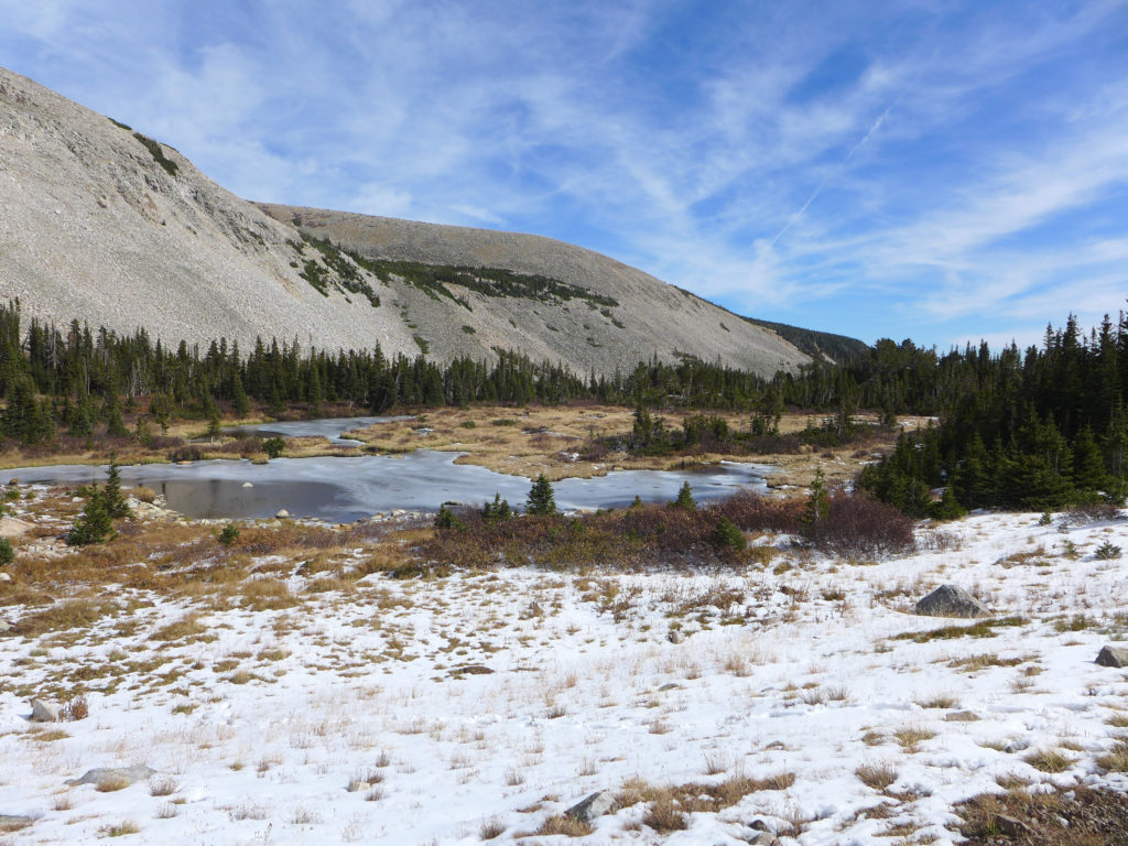
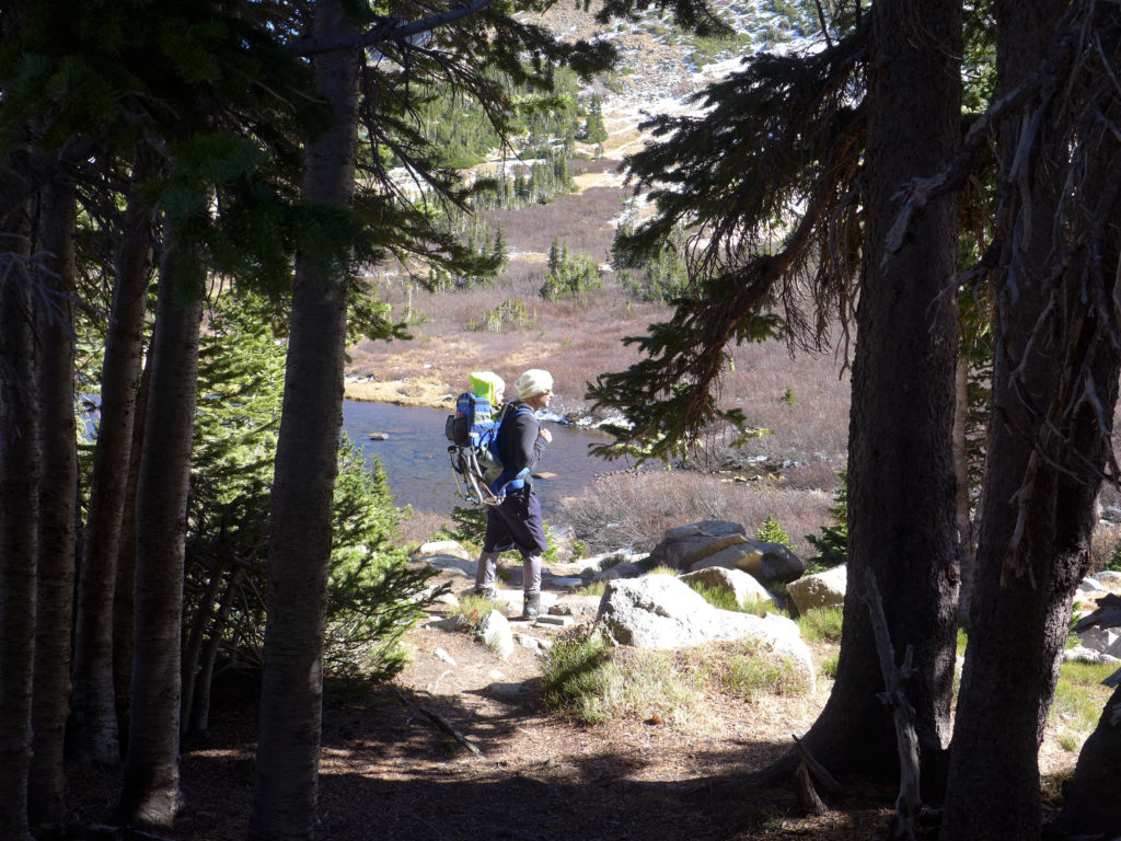
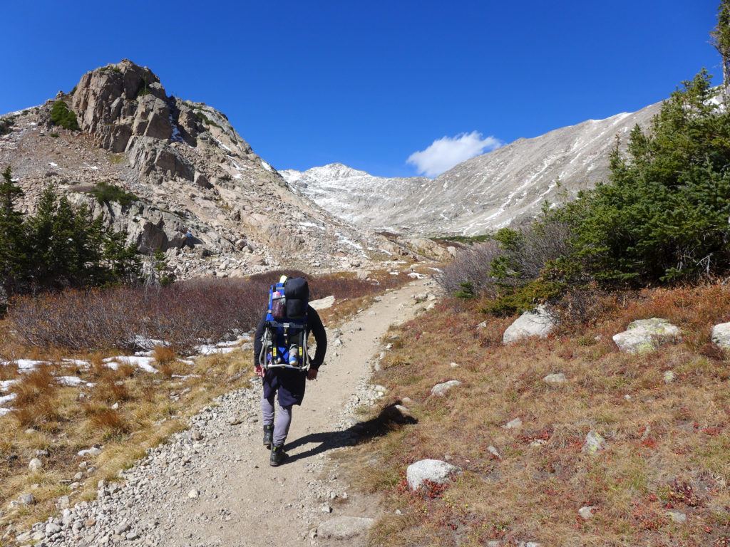
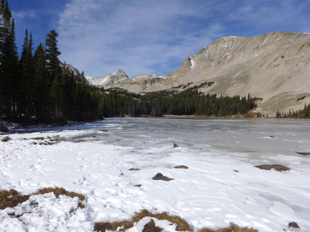
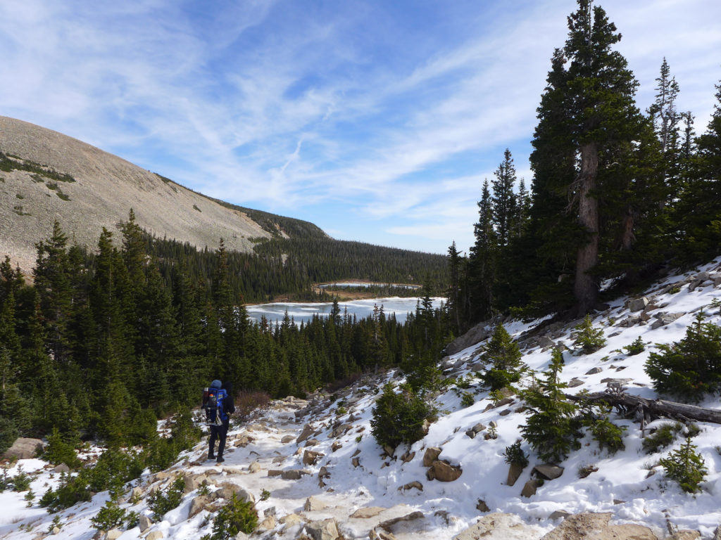
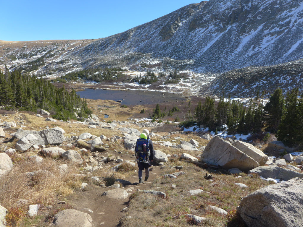
As in the tradition of our previous hike posts, I wanted to share some photos and a brief overview of the trail. These photos are from both trips and in no particular order, but they give you a great sense of what the trail is like during mid October.
Trail Location
The trail starts within the Brainard Lake Recreation Area, but quickly leaves that area and continues on into the Indian Peaks Wilderness Area.
Brainard Lake Recreation Area is open to vehicles from June – October, but the exact opening and closing dates vary each year based on the weather. The entrance fee is on a sliding scale from $1 if you’re walking to $10/car, BUT you can access this area for free with a Nation Parks annual pass. When the area is closed during the winter, you can still park at a lot near the entrance and then enter the area by foot/ski/bike.
During the summer months, you can drive into the area and park at a number of lots. There’s a day-use lot near the main lake that often has spaces, and then there are two smaller lots near the Long Lake and Mitchell Lake trailheads, but in our experience, both of these fill up fairly early and remain packed throughout the day.
If possible, park at the Mitchell Lakes Trailhead and you’ll be able to quickly access the trail, if the lot is full, you’ll have to park in one of the other lots and walk over to the trailhead.
Trail Overview
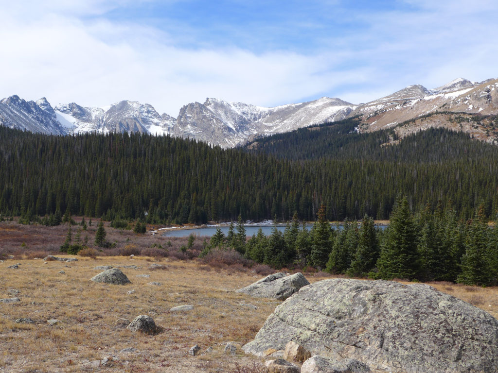
The hike to Mitchell Lake is just under a mile, and it’s another 1.6 miles to reach Blue Lake. These are both out-and-back destinations, making the round-trip hike to Mitchell approximately 1.8 miles and the hike to Blue Lake five miles. The altitude at the trailhead is approximately 10,500 ft, with a gradual climb of just 200 ft to Mitchell Lake and then reaching a final altitude of 11,300 ft at Blue Lake.
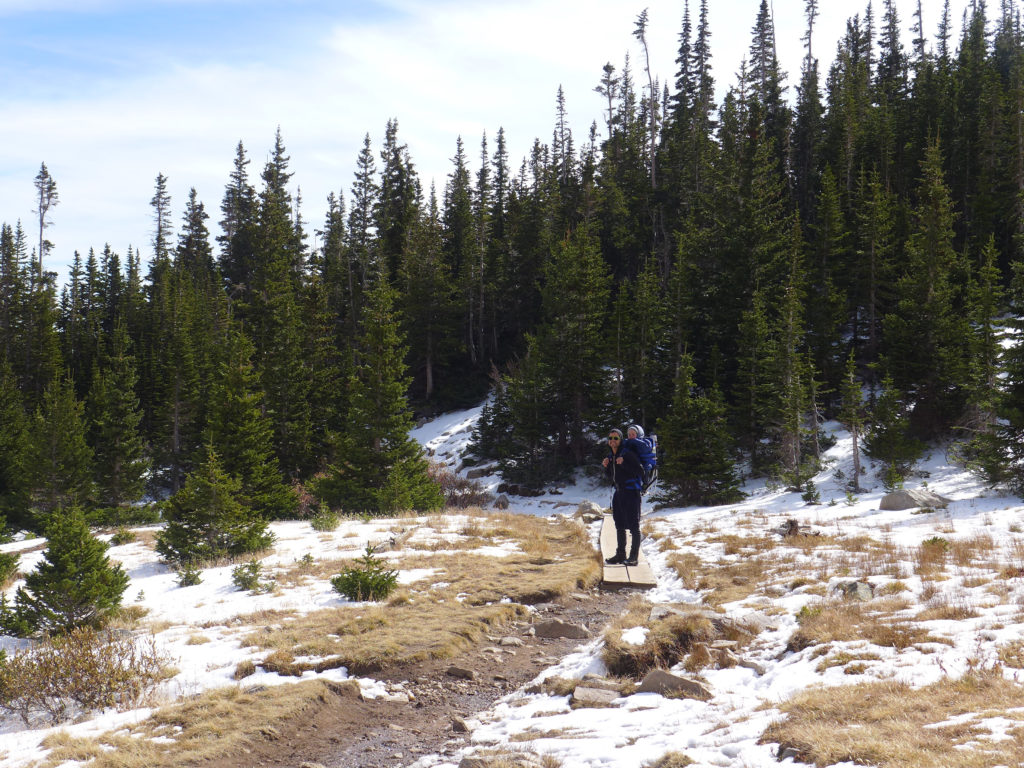
This is a popular, well-worn trail that is easily visible when there isn’t much snow on the ground. I’m not sure what it’s like when covered with snow, and while there were some markers in the trees, I didn’t pay close enough attention to notice how well-marked it was.
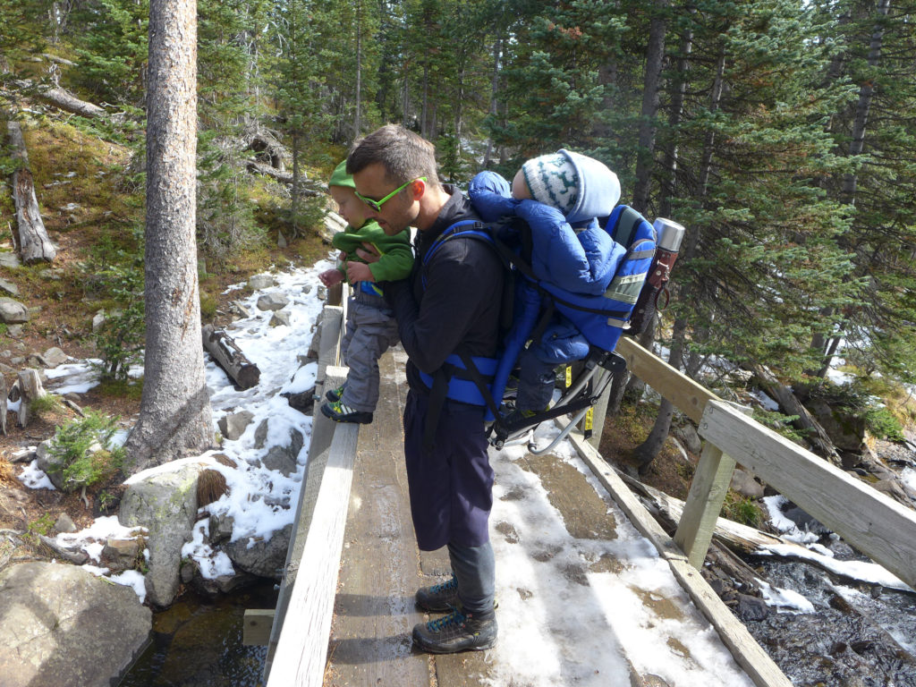
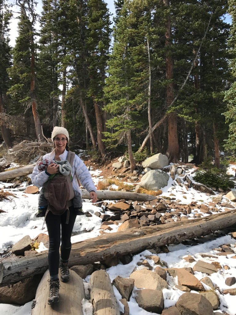
Near the base of the trail, hiking is relatively easy with that slow, gradual climb to Mitchell Lake. There is one large stream crossing over a short wooden bridge, and then another crossing over a wider stream with fall logs used as the bridge. In other segments, planks are used to keep hikers out of boggy areas. There are some steep areas where climbing the rocks is similar to climbing a steep set of stairs, with an increase in the portion of steep climbs as you approach Blue Lake.
During our first visit, there was some snow on the trail that had been tramped down and turned to ice, making some areas slick, but the following weekend this ice had melted, making hiking much easier. It was a nice reminder of how quickly weather and trail can change at that altitude.
Hiking with Kids
Young kids (4 to 8 year olds) should be able to hike to Mitchell Lake with minimal help but would likely need help making the full trek to Blue Lake. Older kids 8+ should have no trouble with the full hike. *** Having only 3.5 and 1.5 year olds, I may have to go back and revise those numbers as we continue to test the trail, but this is based upon the kids we saw out on the trails as we hiked.
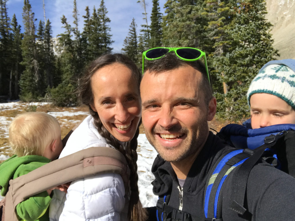
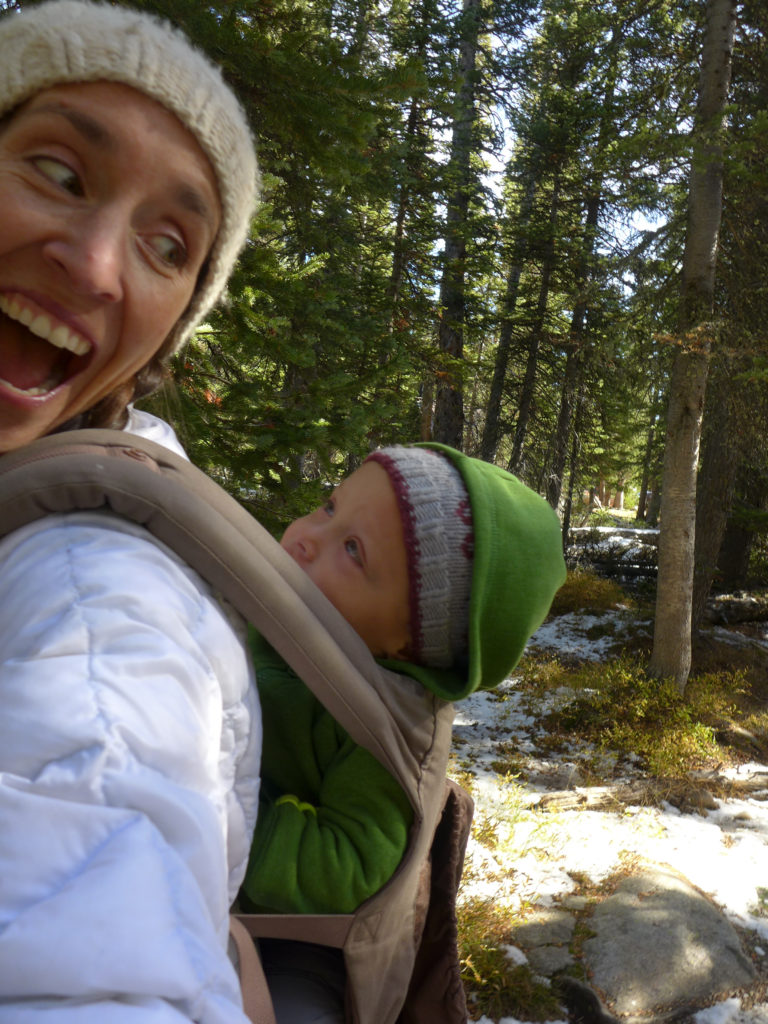
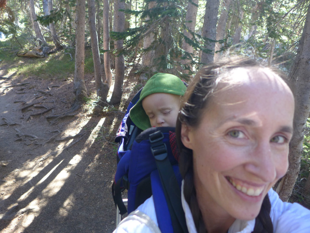
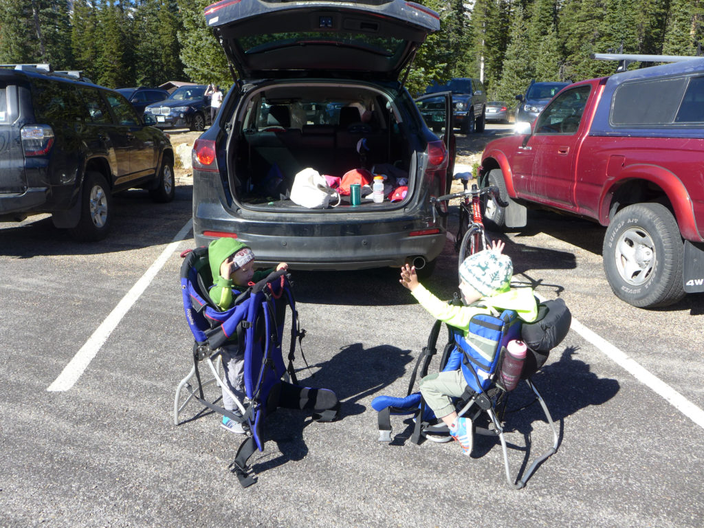
We ended up carrying both of our kids during both hikes. The first weekend it was because they were a bit under the weather, and the second weekend it was because we set out with the goal of the longer hike.
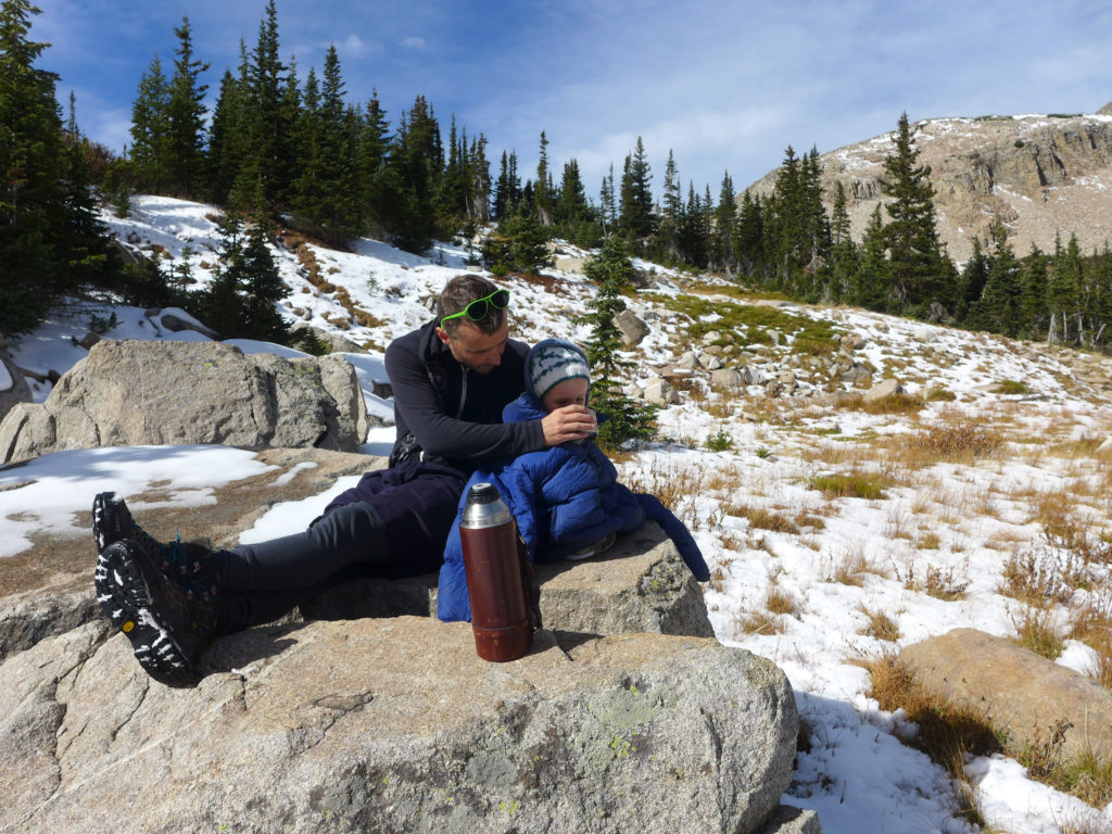
And I don’t know about your kiddos, but anytime we pull out a thermos of hot chocolate during a rest, they are happy hikers and totally oblivious to any chill in the air (pro-tip there)!
Dressing for the Trail
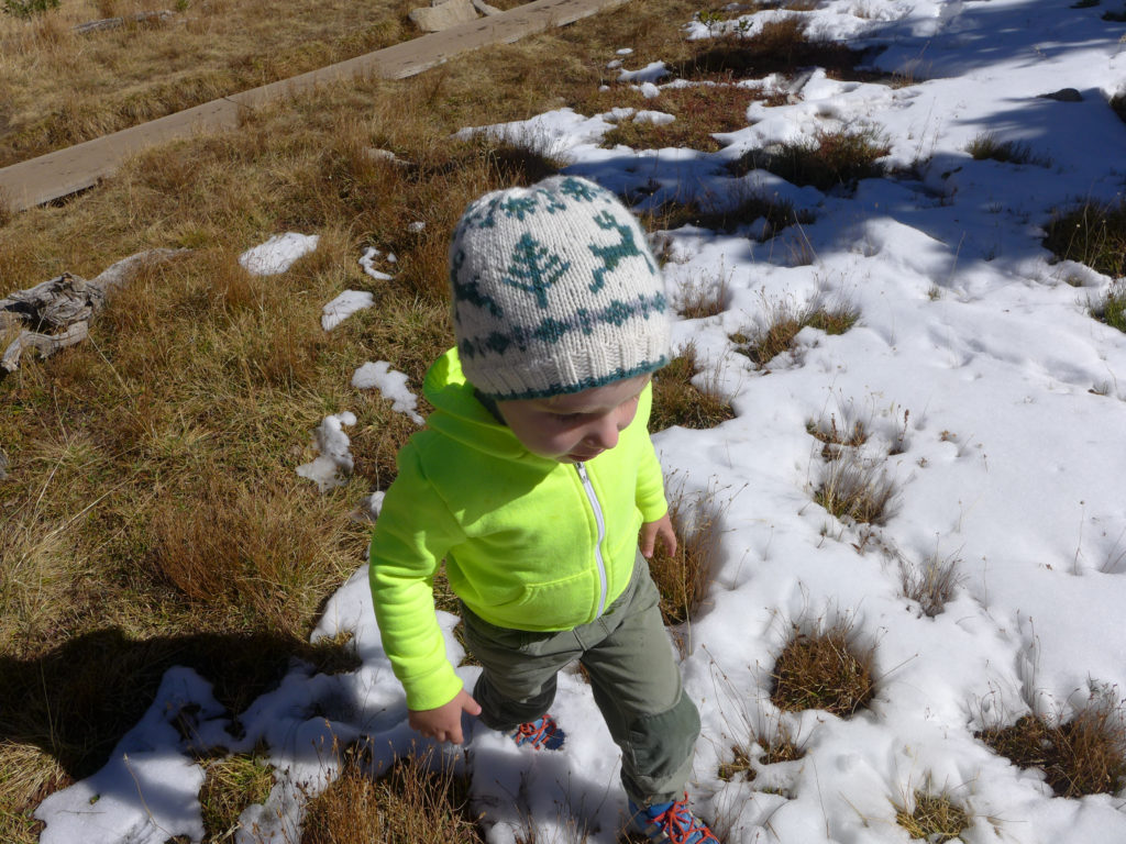
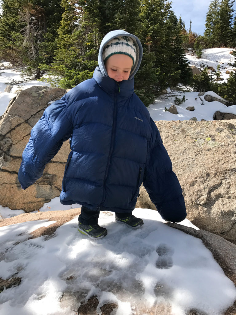
At this time of year (and almost any time!), it was really helpful to dress in light layers. I wore spandex on my bottom and then a tank, wool thermal, and a light down jacket on top. Calder did something similar. The boys wore lined pants, shirts, and hoodies. They could have been dressed a bit warmer, but we also used our down jackets to bundle around them when they were cold in the packs, which worked out well because it was often when we were hot from hiking and carrying them. We all wore wool hats that we put on and off all day.
It was particularly cold and windy at Blue Lake, but since we weren’t staying there long, it didn’t make sense to carry along extra layers just for that rest stop.
And don’t forget sunscreen! While there are some segments with plenty of shade, there is a lot of sun shining on much of the trail.
 By now, Calder and I both know that we live in a beautiful state, but even so, we couldn’t stop gushing about these two weekends spent hiking the same trail. We’re so glad we explored and now we’re anxious to hike it when the wildflowers are at their peak next summer. We’re also excited to have this hike at the ready the next time we have adventurous visitors in town.
If you’re in the Boulder area, this hike and the whole Indian Peaks area is definitely worth your time. Just know that everyone else loves the area too, so try to get there early before the lots fill up. Good luck!